
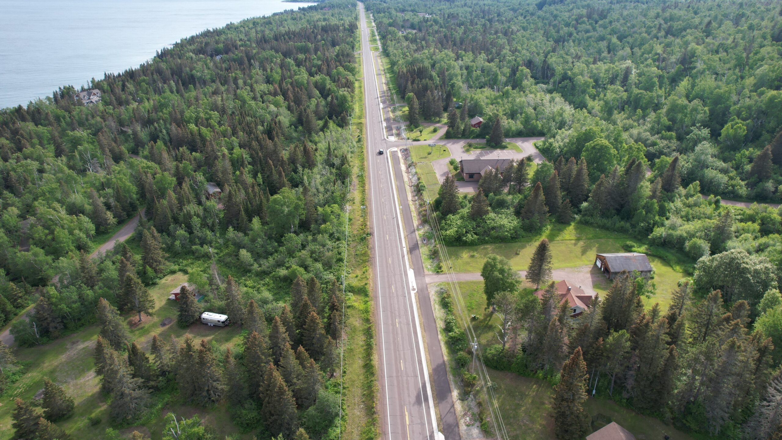
Stretching along Minnesota’s rugged North Shore, the Gitchi-Gami State Trail (GGST) represents more than just a recreational amenity — it is a long-term, multi-agency infrastructure effort shaped by decades of planning, partnerships, and problem-solving. Envisioned as a continuous, nonmotorized corridor linking Two Harbors to Grand Marais, the paved trail is designed to parallel Trunk Highway 61, weaving together communities, state parks, and some of the Midwest’s most iconic Lake Superior scenery.
The concept gained formal traction in 1999 when the Minnesota Legislature designated the GGST as a state trail, building on early advocacy from the Gitchi-Gami Trail Association and its predecessor organizations. Since then, the Minnesota Department of Natural Resources (MnDNR), Minnesota Department of Transportation (MnDOT), and local partners have advanced the system through a master plan adopted in 2002 and a phased implementation strategy.
Today, the trail remains a work in progress — originally divided into 17 construction segments aligned with 23 highway improvement segments along TH 61. This strategic overlap allowed early trail development to piggyback on highway reconstruction projects, reducing costs and leveraging existing right-of-way. However, as those opportunities diminish, extending the trail now requires targeted investments that prioritize logical endpoints and user safety.
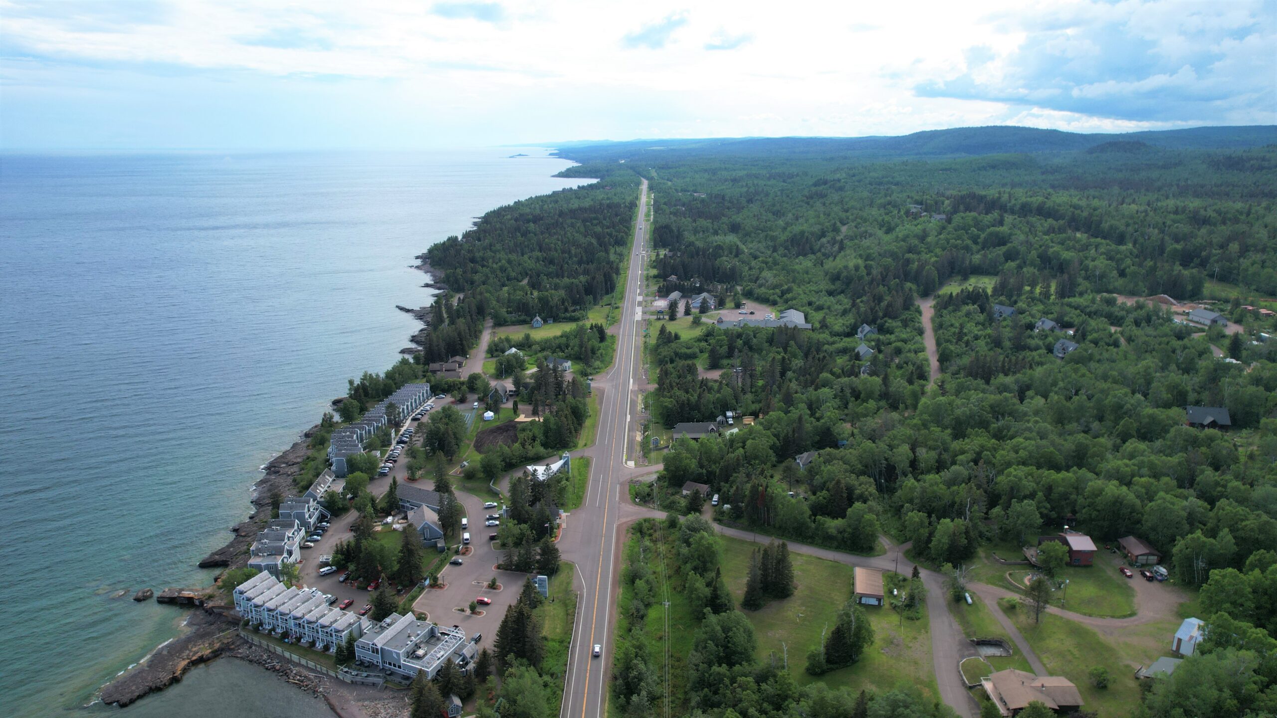
Funding for the GGST reflects a similarly layered approach. State bonding dollars, Legislative-Citizen Commission on Minnesota Resources (LCCMR) grants, federal Transportation Alternatives Program (TAP) funding, and coastal program support have all contributed to incremental progress. These diverse funding streams underscore the project’s complexity — and the ongoing uncertainty that comes with long-term reliance on competitive grants and legislative appropriations.
Navigating Ownership and Partnerships
One of the trail’s defining characteristics is its reliance on voluntary land acquisition. All property needed for the state trail must be obtained from willing sellers, with additional easements negotiated where the route leaves public right of way. This approach requires consistent outreach and collaboration with private landowners, who were engaged early in the design process to gauge interest and identify feasible alignments.
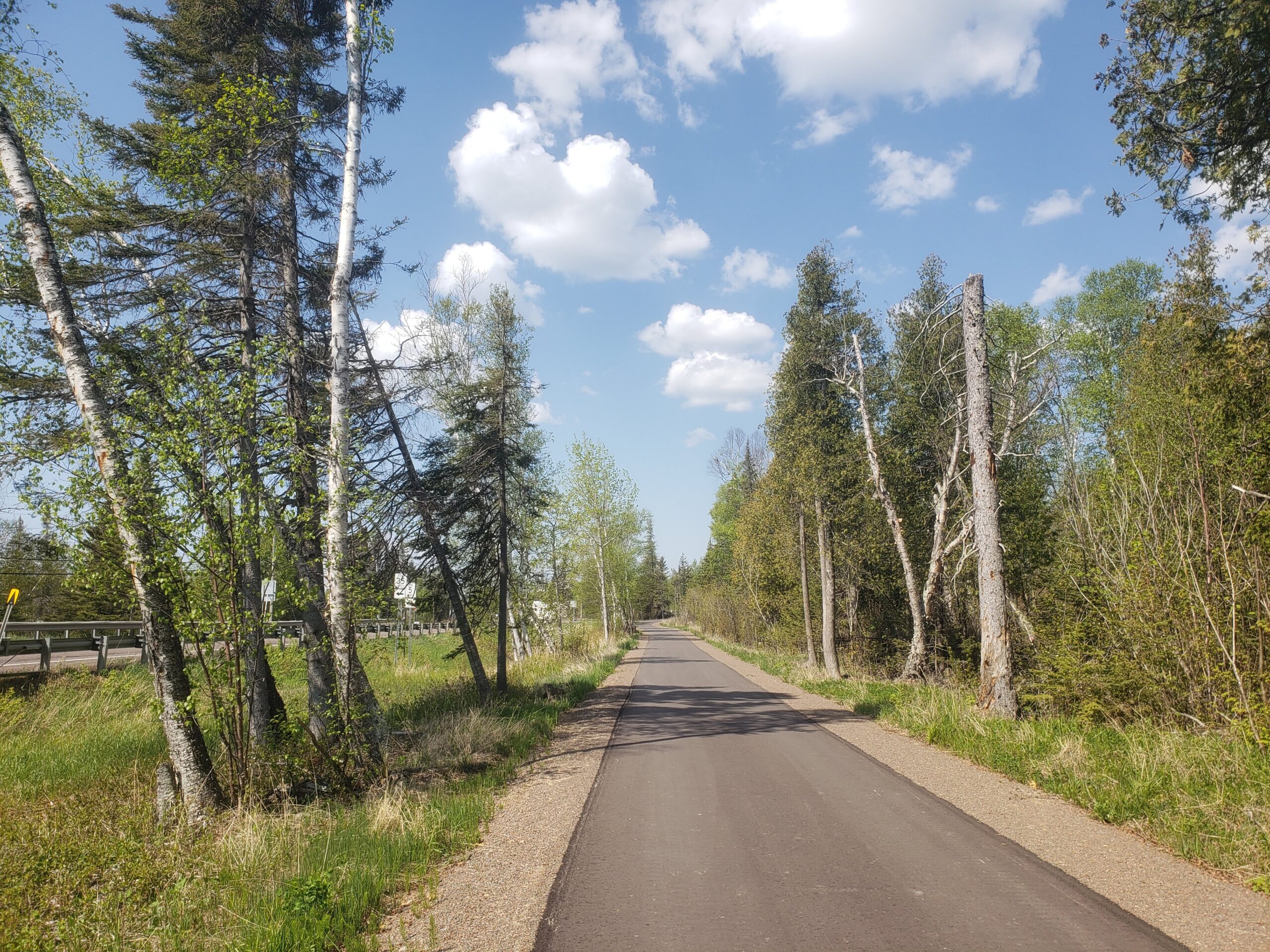
The corridor itself passes through a remarkable range of public lands, including five state parks, four scientific and natural areas, wildlife management areas, and state forest lands. Balancing access, conservation, and user experience within these sensitive environments has been a cornerstone of project planning — and a recurring challenge for MSA engineers and designers.
Engineering on the Edge of Lake Superior
Constructing infrastructure along the North Shore presents a uniquely demanding set of conditions. The region’s geology is dominated by hard basalt bedrock overlain with thin glacial soils, resulting in shallow excavation depths, poor drainage, and frequent groundwater seepage. These conditions complicate grading and require specialized solutions such as controlled blasting, reinforced retaining systems, and careful slope stabilization to ensure long-term performance.
Environmental constraints further shape construction practices. The trail corridor overlaps with habitat for federally protected species, including the Canada lynx, gray wolf, and northern long-eared bat. On the Lutsen Phase II segment, for example, MSA designers incorporated span structures over streams to preserve wildlife movement, while tree clearing activities were limited to winter months to comply with bat habitat regulations.
Weather and climate events add another layer of complexity. In June 2024, nearly seven inches of rain fell in the Lutsen area, triggering flash flooding that washed out multiple segments of the trail. These events highlight the growing importance of resilient design, particularly for drainage systems and slope protection, as extreme weather becomes more frequent.
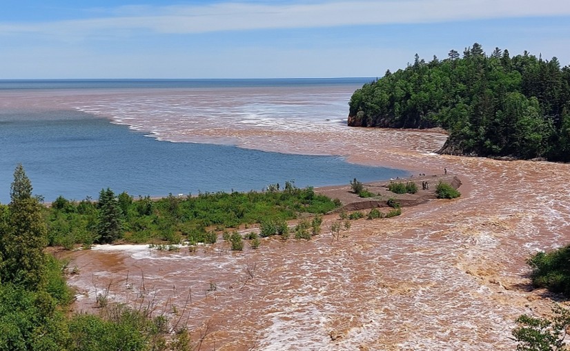
Rain from a large storm event triggered major flooding along the North Shore near Lutsen in 2024.
Coordination Along a Busy Corridor
Because much of the GGST parallels TH 61, construction must be carefully staged to minimize disruptions along one of Minnesota’s most heavily traveled scenic routes. Traffic control strategies are especially critical during peak tourism seasons. On the Tofte Gap segment, for instance, temporary signals were restricted to weekday daylight hours, and specialized barriers were required during culvert work to maintain safety and traffic flow.
Legacy infrastructure also introduces complications. In some locations, aging highway culverts lacked as-built documentation, forcing MSA engineers to design custom connections between existing structures and new MnDOT-standard systems to support trail embankments. These conditions required adaptive design, precise staging, and close coordination between agencies.
Looking Ahead
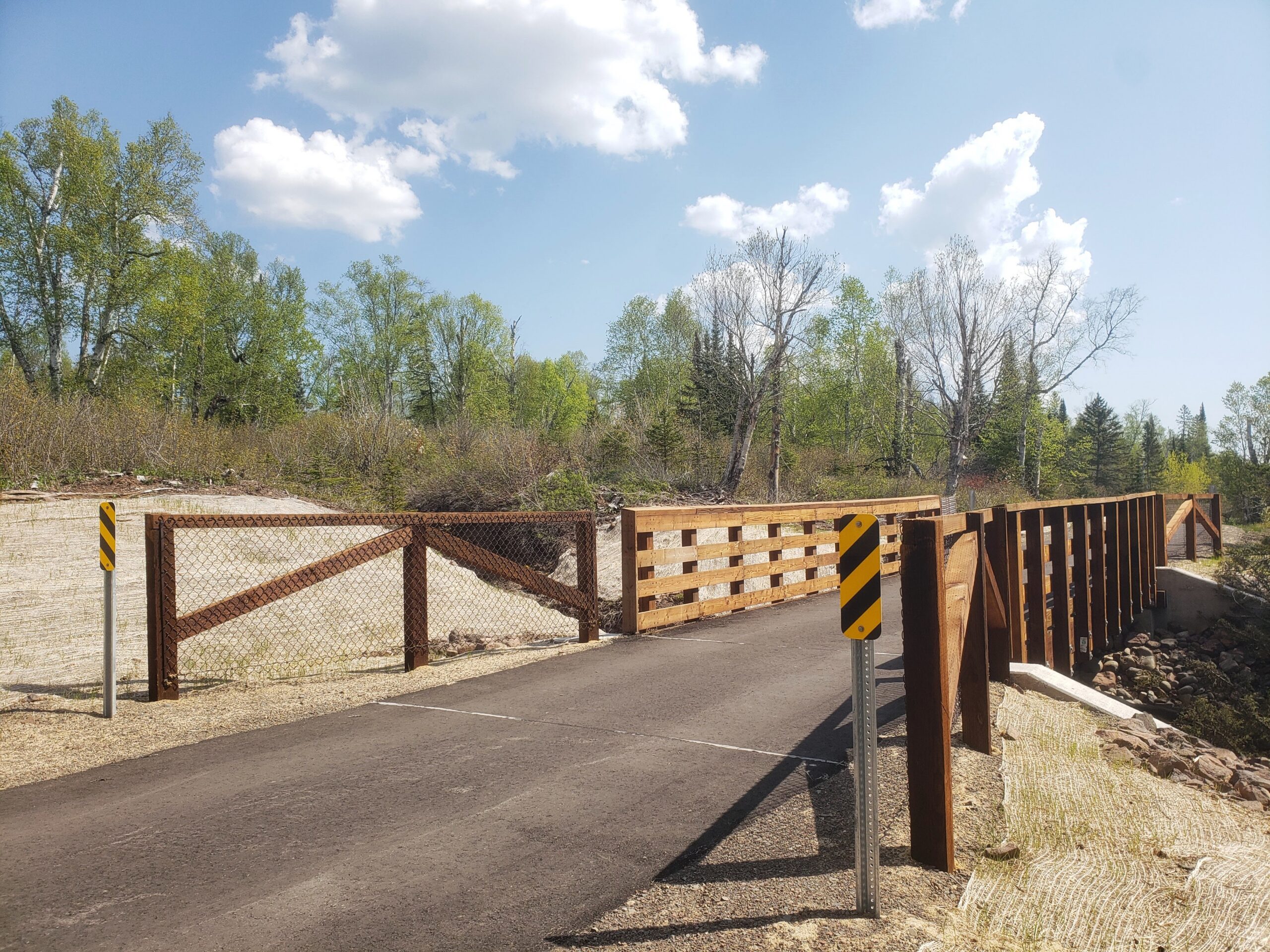
Despite the challenges, momentum continues. Several new segments are in various stages of planning and construction, including trailhead improvements in Lutsen, multi-mile expansions near Silver Bay, and shorter connector segments aimed at closing existing gaps. Funding commitments for these projects range from hundreds of thousands to over $1.5 million per segment, reflecting the continued investment needed to complete the corridor.
Key hurdles remain, including achieving ADA-compliant alignments in constrained areas and securing future federal funding to sustain progress. Yet the overarching vision remains unchanged: a continuous, accessible, multi-use trail that safely connects communities while showcasing the North Shore’s natural beauty.
Ultimately, the Gitchi-Gami State Trail demonstrates how persistence, partnership, and engineering ingenuity can transform a long-envisioned idea into a lasting public asset. As additional segments come online, the trail not only enhances recreation but also stands as a model for collaborative infrastructure development in complex and environmentally sensitive settings.
Authors